Quick Facts
- Download the free Avenza Map app from the App Store on mobile device.
- Choose a trail and tap on the geo-referenced map.
- Tap on the map again and choose “Open in Avenza Maps” or choose “More” and tap on the Avenza Map icon.
- Map is saved in Avenza Map app.
- A blue dot marks your location on the map.
- The trail map uses the phone’s GPS. If cell reception is poor, put phone on airplane mode to conserve power.
- Download the free Avenza Map app from the App Store on mobile device.
- Choose a trail and tap on the geo-referenced map.
- Tap on the three dots in the upper-right corner.
- Choose “Send File” and tap the Avenza Map icon.
- Map is saved in Avenza Map app.
- A blue dot marks your location on the map.
- The trail map uses the phone’s GPS. If cell reception is poor, put phone on airplane mode to conserve power.
Water Level
Water control structures allow Mercer Bayou to hold water year round.
Water Trail Distances
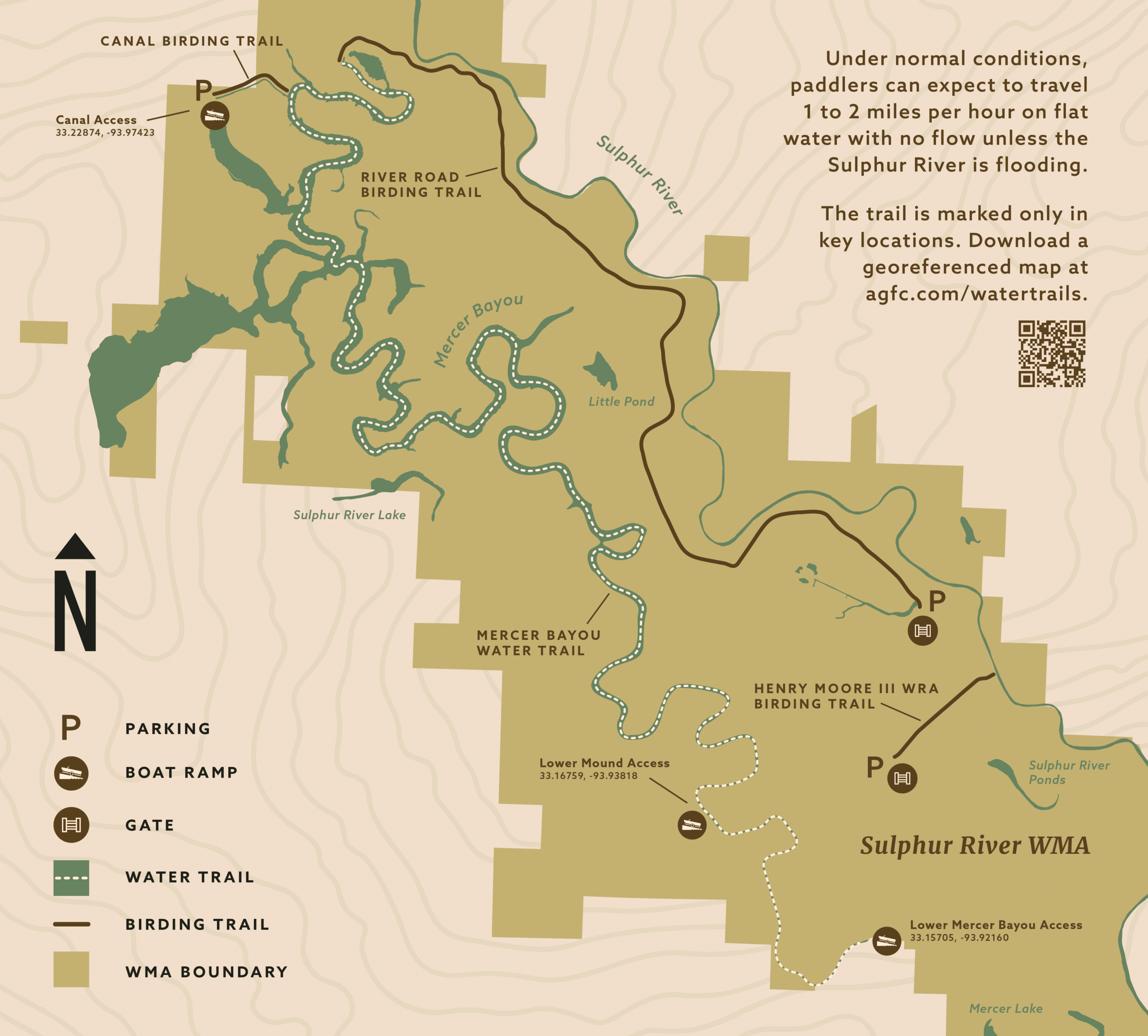
- Canal to Lower Mound: 12.2 miles
- Lower Mound to Lower Mercer Bayou: 2.2 miles
- Canal to Lower Mercer Bayou: 14.4 miles
River Conditions
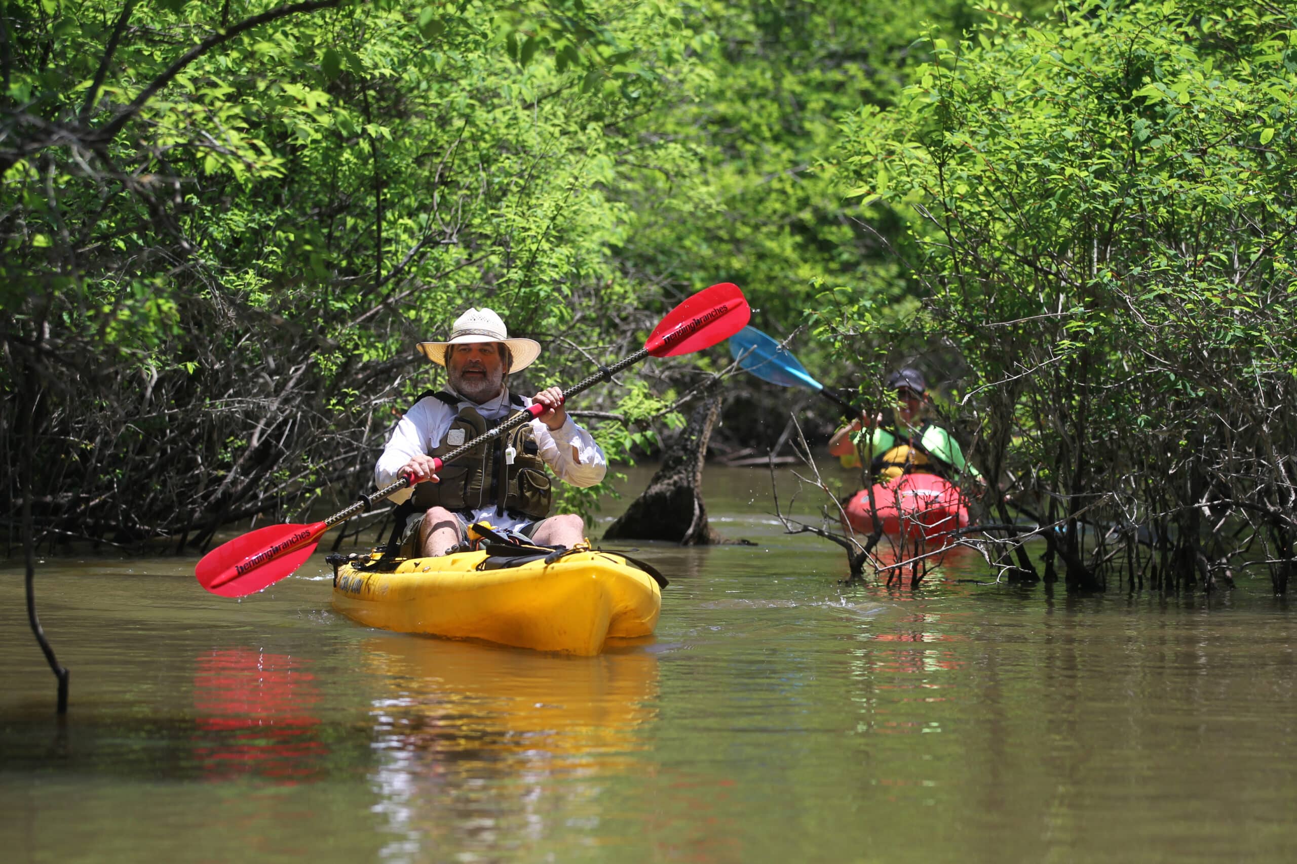
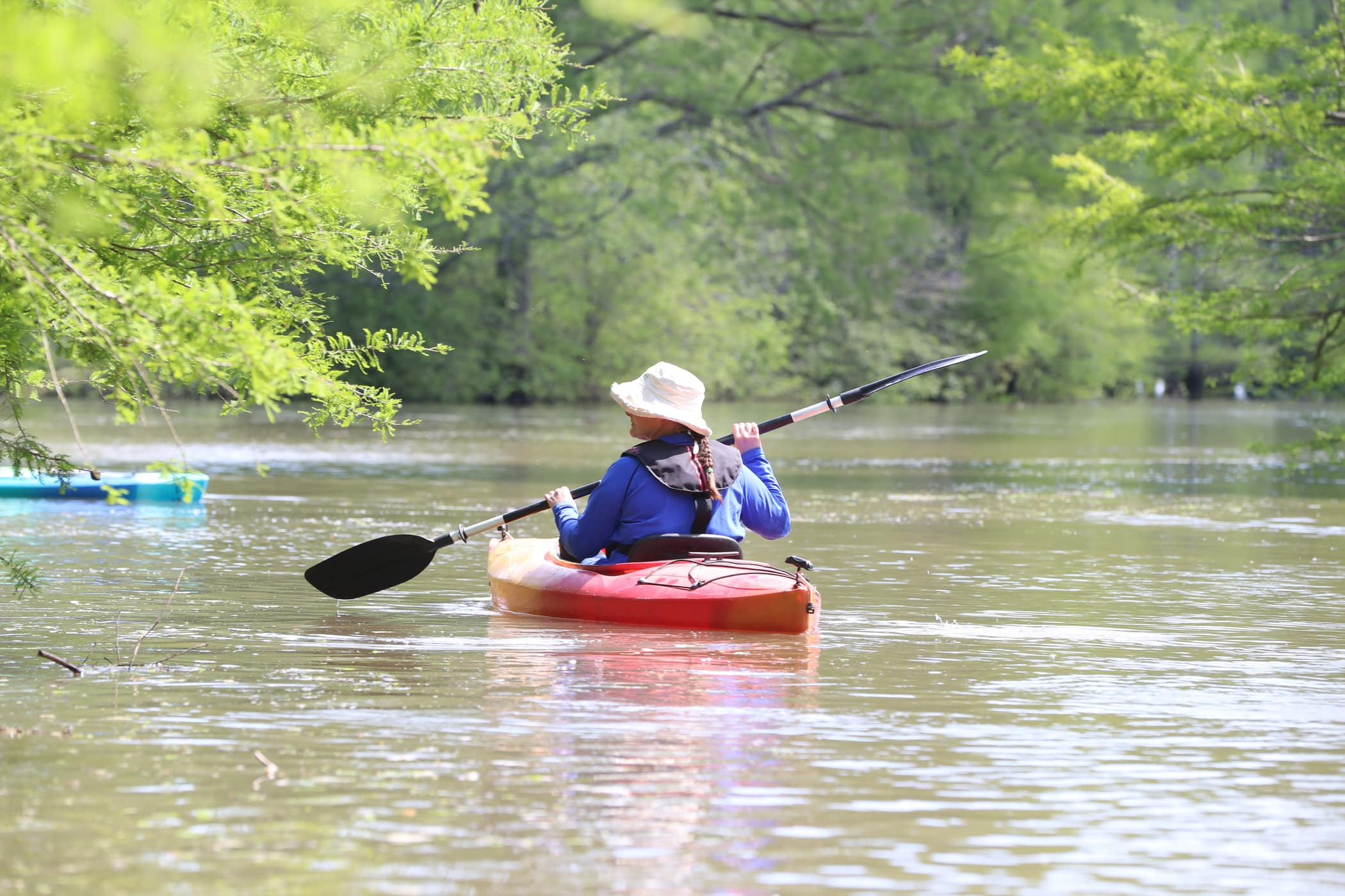
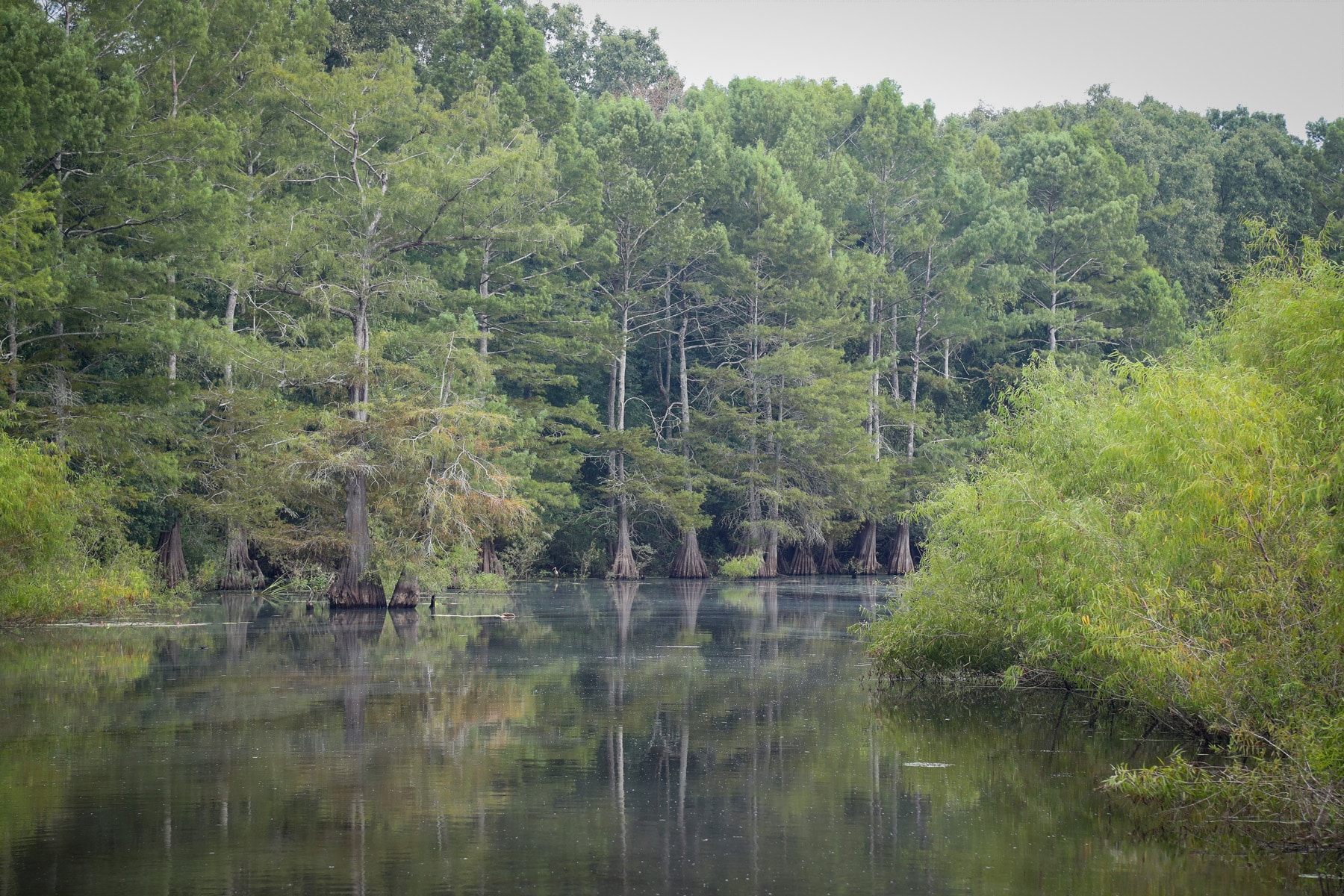
Mercer Bayou meanders through the largest tract of bottomland hardwood forest in the Red River valley. Under normal conditions, paddlers can expect to travel 1 to 2 miles per hour on flat water with no flow unless the Sulphur River is flooding. Paddle a half-mile canal to access the northern portion of the trail. Be prepared for buffalo gnats in the spring and mosquitos in the summer. The northern portion of the trail traverses through open water while the southern end of the trail is narrower and tree covered.
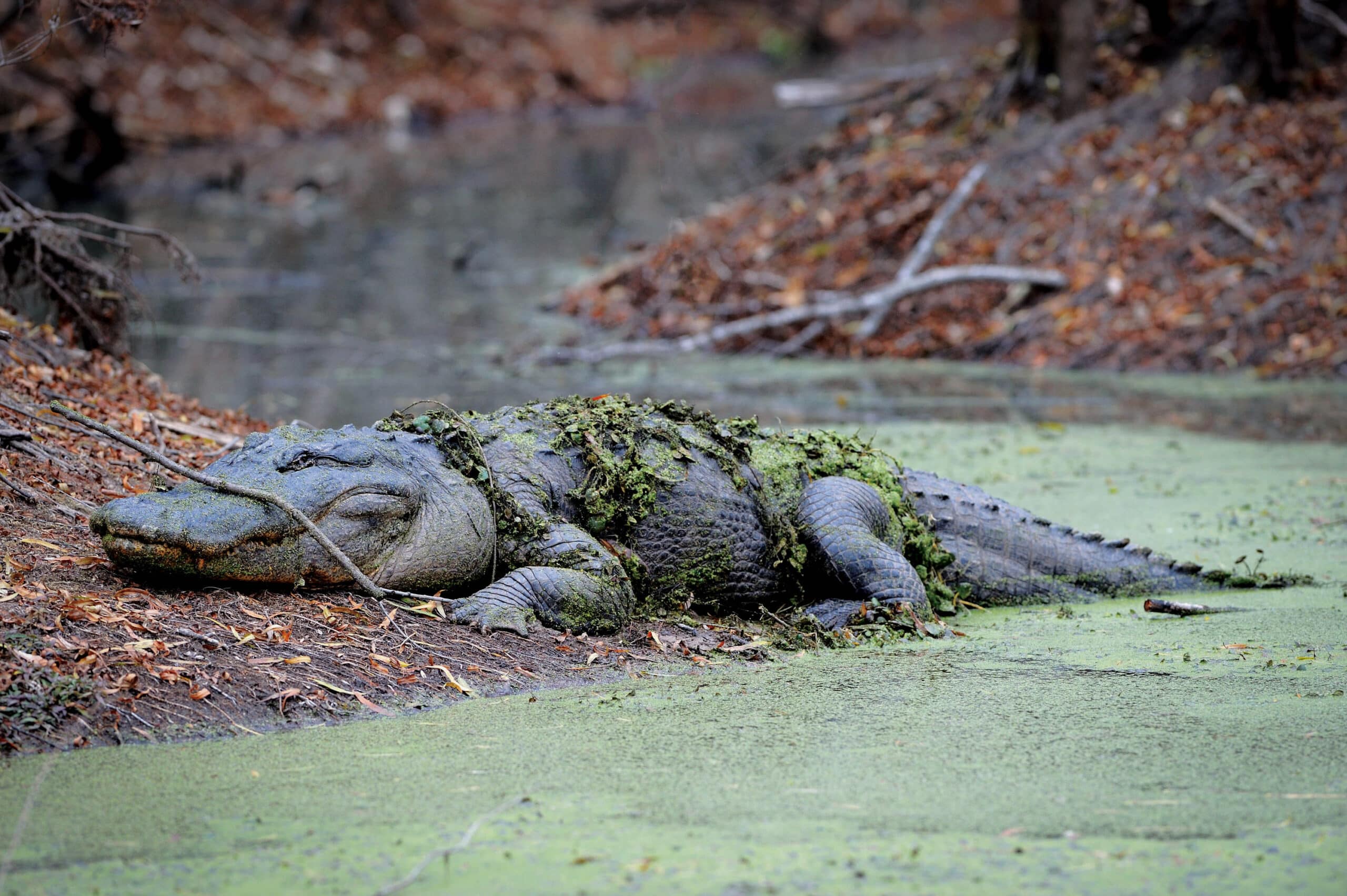
Mercer Bayou is remote and the main channel is not always distinct. The trail is marked only in key locations. Download a georeferenced map of the trail. Alligators bask and feed in the bayou – watch from a safe distance.
Don’t Get A Ticket
According to Arkansas law, children 12 and under must wear a Coast Guard-approved life jacket, and anyone on a boat must have one ready to use. Vessels 16 feet and longer must have a throwable life preserver (type IV) aboard. Glass containers are illegal in boats such as canoes that can be easily swamped. Paddlers must securely fasten cooler lids, use attached litter containers and use floating holders for beverages.
Emergency Contacts
Miller County EMS
911
Miller County Sheriff’s Office
870-774-3001
AGFC Perrytown Office
501-255-1496
Stop Poaching Hotline
501-255-3475
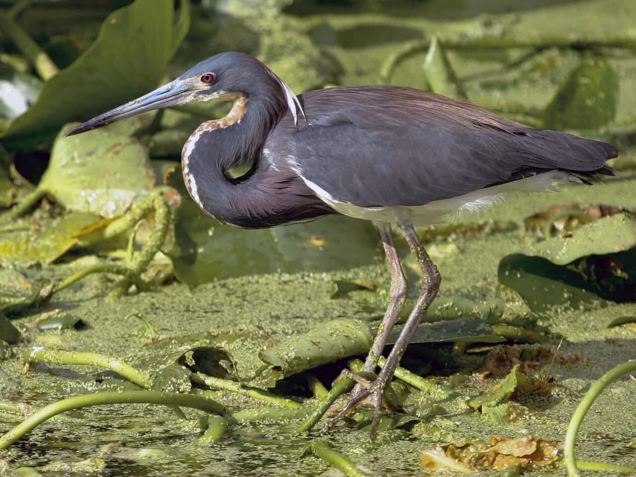
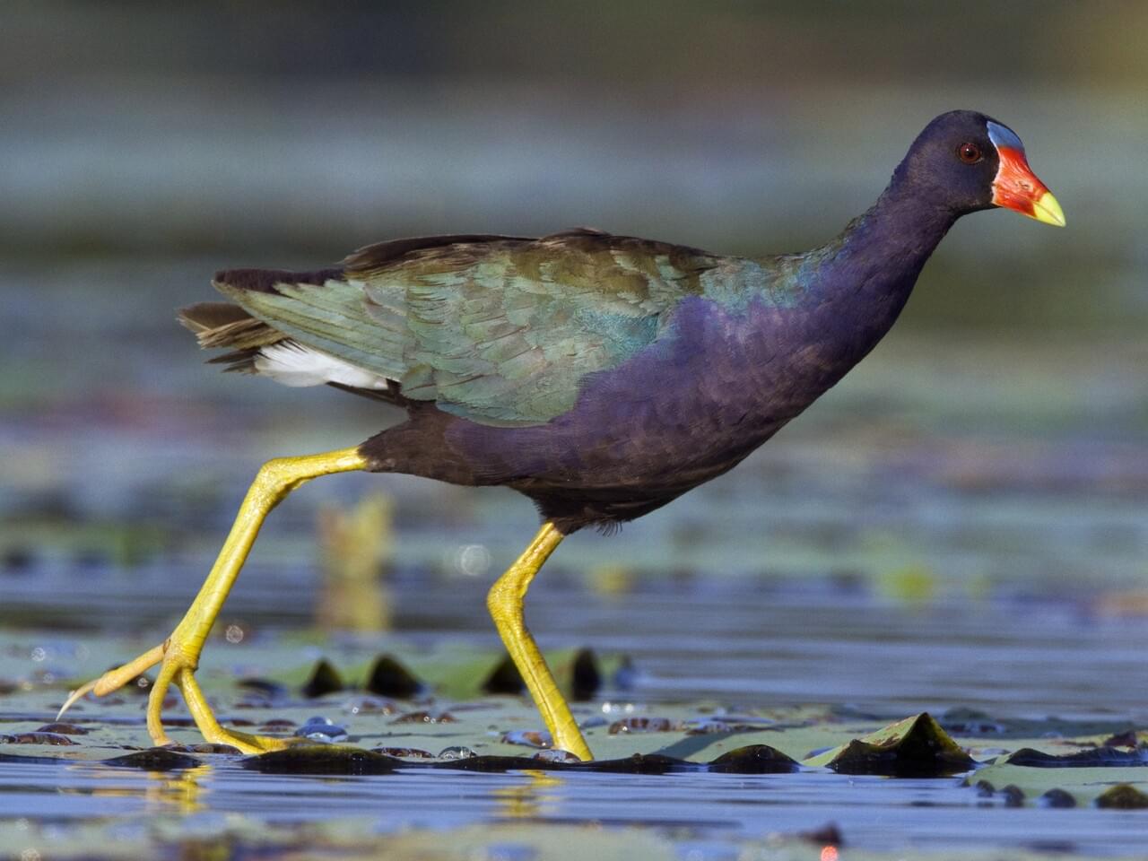
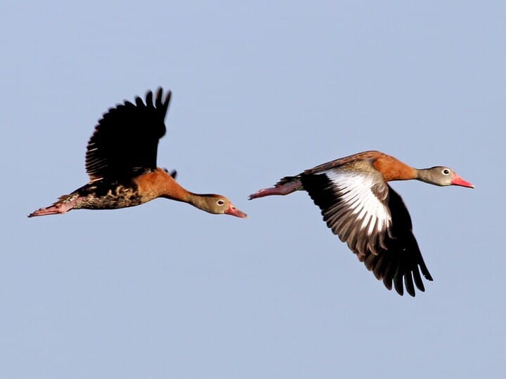
Sulphur River Wildlife Management Area encompasses 18,155-acres of bottomland hardwood forest. Watch for wetland birds – American bittern, tricolored heron, purple and common gallinules, anhingas, black-bellied whistling ducks and swallow-tailed kites. Beavers, otters, muskrats, deer and raccoons feed near the bayou. Approximately four miles south of the canal, the upper mound – a large, forested sandstone formation – rises above Mercer Bayou. Scan the hillside for a variety of warblers and nesting bald eagles.
Mercer Bayou provides excellent bass, crappie, and bream fishing. Click here to see fishing regulations.
Waterfowl hunting is popular during fall and winter. Paddlers should wait until after shooting hours (mid-day) to take to the water during waterfowl season. Hunters also pursue deer, turkey, alligator and small game. Furbearer trapping is permissible on the WMA. Wear hunter orange when appropriate. Leash pets for their safety. Click here to learn more about season dates and details.
Camping is available at designated first-come, first-served sites. Click here to learn more about camping along Sulphur River WMA.
Check out three nearby birding trails! Click here to learn more.

