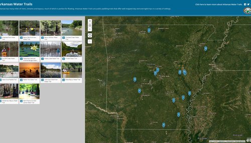
Water Trails
Paddling sports are among the fastest growing recreational activities in the United States.
Arkansas Water Trails develops public paddling trails throughout the state, creating well-mapped accessible day trips in a variety of settings and for all levels of paddling experience.
Arkansas has many miles of rivers, streams and bayous, much of which is perfect for floating. Paddling in The Natural State provides opportunity to land a smallmouth bass, meander through a cypress swamp and make a run through rugged white water.
Paddling Laws and Ethics
Canoes, Kayaks, Inner Tubes and other craft succeptable to swamping require special regulations and ethical considerations. Click here to familiarize yourself with these guidelines before grabbing a paddle to relax.
Established Water Trails
Trails are added to the program as site assessments are completed and maps are developed. Please check back regularly for the most up-to-date information.
Arkansas Post Water Trail
Arkansas County
8 Miles
Bayou Bartholomew Water Trail
Ashley, Jefferson, and Lincoln Counties
10 Miles
Bayou DeView Water Trail
Monroe County
15.2 Miles
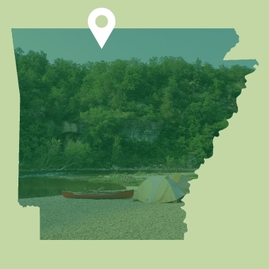
Crooked Creek Water Trail
Marion County
22 Miles
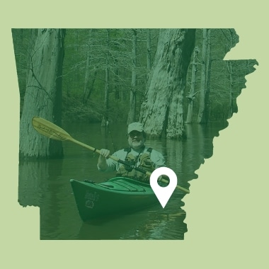
Cut-Off Creek Water Trail
Drew County
8.3 Miles
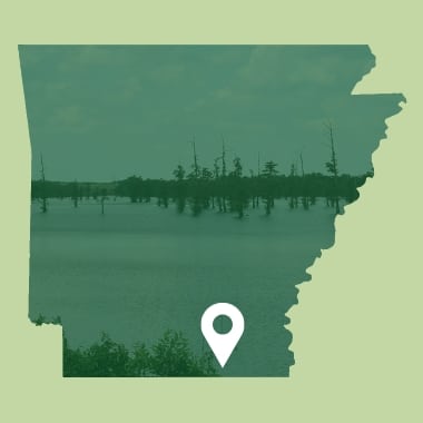
Felsenthal National Wildlife Refuge Water Trails
Ashley and Union Counties
8.3 Miles
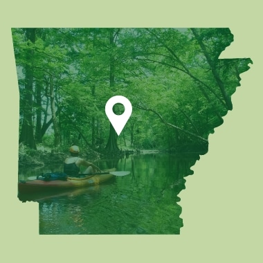
Fourche Creek Urban Water Trail
Pulaski County
4.4 Miles
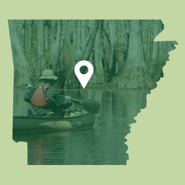
Grassy Lake Water Trail
Faulkner County
4.3 Miles
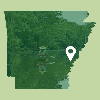
H Lake Water Trail
Arkansas County
3.3 Miles
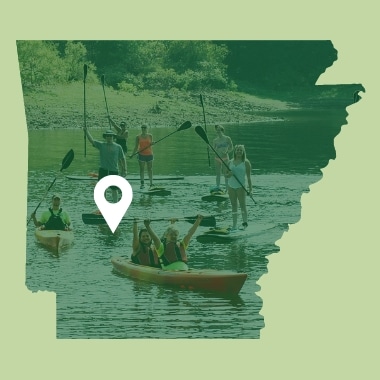
Islets Cove Paddle Trail on DeGray Lake
Clark County
3 Miles
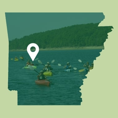
Lake Ouachita | Buckville Water Trail
Garland and Montgomery Counties
5.4 Miles
Lake Ouachita | Rabbit Tail Water Trail
Garland and Montgomery Counties
8.5 Miles
Little Maumelle River Water Trail
Pulaski County
8.2 Miles
Mercer Bayou Water Trail
Miller County
14 Miles
Robe Bayou Water Trail
Monroe County
4.5 Miles
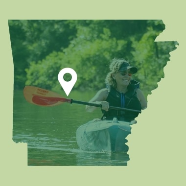
Saline River Water Trail
Saline County
14.2 Miles
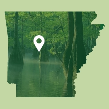
Sleepy Hollow Water Trail
Pulaski County
5 Miles
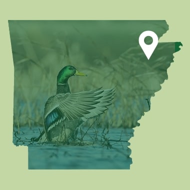
St. Francis Sunken Lands Water Trail
Poinsett County
10 Miles
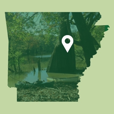
Wattensaw Bayou Water Trail
Prairie
7.8 Miles
Frequently Asked Questions
Arkansas Water Trails are designed to be day trips. They can be as short as a couple of hours or as long as you wish to make them, depending on how many stops you make for wildlife-watching, fishing and exploring.
In still water, you can generally expect to travel 1 to 2 miles per hour. However, river flows and water levels can alter the duration of your trip. Paddling against the flow takes more time, while paddling with the flow can shorten the trip dramatically. For information on streamflow, visit USGS Real-Time Water Data For Arkansas.
When water levels and flows are low, man-made obstructions, log jams and snags increase and may render a water trail inaccessible. Low water can also diminish water quality.
Heavy rain may cause flash floods or other dangerous conditions. Flood stage occurs when there are high water levels and high flows. Make sure that your water skills and experience are equal to the river and the conditions.
The AGFC will provide as much information as possible on this website, but you must keep your skill level in mind when determining your ability to safely travel a body of water. Use this information at your own risk.
To determine current conditions and trip times, contact a local canoe rental business, if available. Also, check the Arkansas Canoe Club’s web site for recommended water levels on certain rivers and creeks in the state.
Paddling trails are open seven days a week. However, some access sites may have park curfews. Check individual sites to determine their business hours.
Canoe and kayak rentals are sometimes available on-site or in a nearby community. Check individual sites to determine if they have rental or shuttle services.
The AGFC makes every effort to keep rentals and shuttle information up to date on its website, but it is your responsibility to call ahead and be sure these businesses are still open for business.
Develop a Water Trail
Arkansas Water Trails are an exciting way for landowners and communities to conserve habitat while providing recreational opportunities for the public. Water trails promote sustainable economic development and build public support for conservation of waterways and wildlife.
Ways the AGFC Can Help
- Promote your water trail as a part of the Arkansas Water Trails program.
- Provide information panel inserts and replacements for approved kiosks and access points.
- Provide official AWT route markers.
- Develop trail maps and interpretive information to be used in marketing materials.
- Provide conservation and ethics information to be used in marketing materials.
Water Trail Requirements
- Public access must be at least one paddling mile and no more than 12 paddling miles for each segment.
- Each public access must have designated parking.
- There must be adequate water quality, river flows and depth (seasonal flows acceptable).
- The trail must be a contiguous or semi-contiguous waterway or series of waterways open to recreational use by paddlers.
- Local partners must be available to maintain and clean the trail corridor and access points.
- Local partners provide approved kiosk for information panels.
- A population center within 100 miles is preferred.
- Canoe and kayak rentals available from local sources is preferred.
- Presence of natural or historical attractions such as interesting habitat, wildlife diversity and historic sites is required.
Kirsten Bartlow
Watchable Wildlife Coordinator
Little Rock, AR

